SWTU, P.O. Box 45555, Madison, WI 53744-5555
president@swtu.org
Conserving coldwater fisheries


Calendar
April 2025 |
||||||
|---|---|---|---|---|---|---|
| Sun | Mon | Tue | Wed | Thu | Fri | Sat |
|
1
|
2
|
3
|
4
|
5
|
||
|
6
|
7
|
8
|
9
|
10
|
11
|
12
|
|
13
|
14
|
15
|
16
|
17
|
18
|
19
|
|
20
|
21
|
22
|
23
|
24
|
25
|
26
|
|
27
|
28
|
29
|
30
|
|||

Halfway Prairie Creek walkalong
Leave a Comment
Posted: September 7, 2021 by Drew Kasel
By Topf Wells
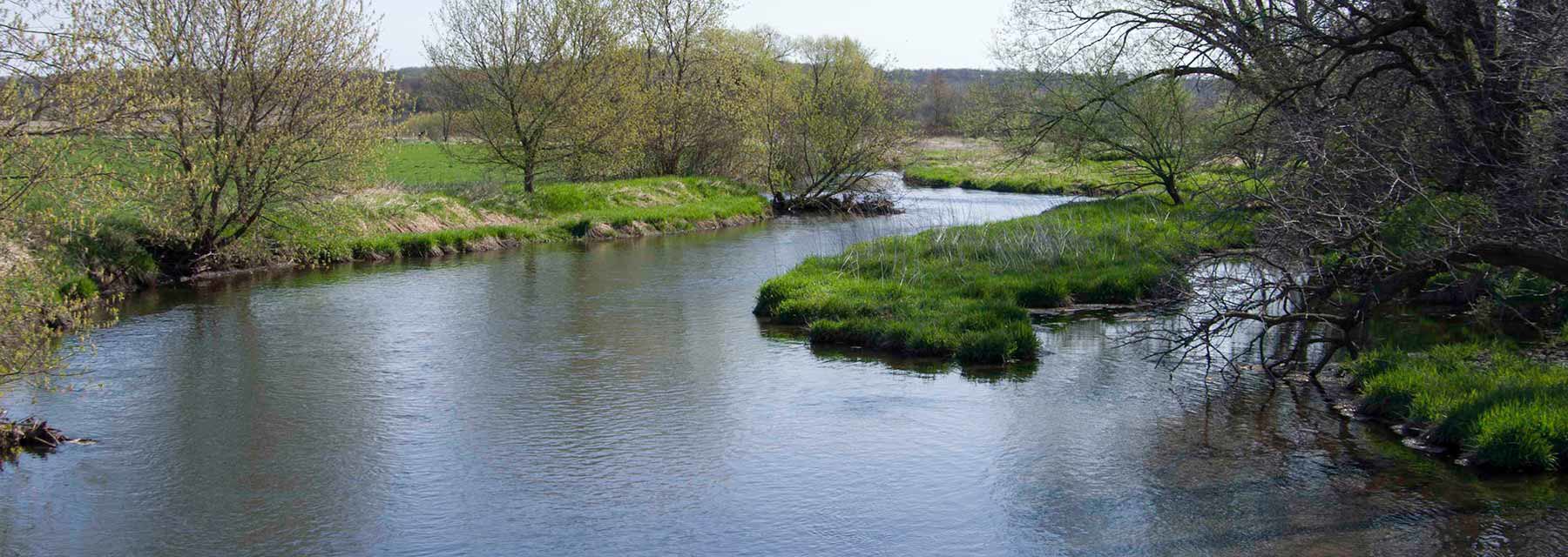
Walked it and the recent restoration work by Dane County. It’s easily accessible from the downstream end of the Wolf Run restoration in Mazomanie. It encompasses a bit of Bla ck Earth Creek (BEC) downstream of the pedestrian bridge and several hundred yards of Halfway Prairie Creek (HPC). It does not include the confluence because HPC and BEC are on different properties at that point. Railroad ownership of part of the creek corridor is also a complication.
The setting of the restoration is unique in my experience. All the brush and some larger trees have been cleared but many tall, straight, mature cottonwoods and black walnuts remain. The disturbed grounds have been heavily seeded with grass. Those features combine for a park-like setting. The creek will have some shade but the trees are so tall and straight that casting will be easy.
The work seems to consist of bank shaping, restrained rip rap, some instream rock work and many small root wads/digging logs/brush bundles. The stream bottom seems to be mostly sand, rock and gravel, and should provide easy wading. Entering and exiting the stream should also be safe and easy. The instream devices will eat nymphs and streamers but the stream is relatively shallow and dries and wets might work the best anyway. The quality of the work seems excellent.
The stream should offer pleasant, small stream fishing. The habitat is there, so with cool enough water temps trout should be happy and in fishable numbers.
Share this:
Category: Uncategorized
Recent Posts
Categories